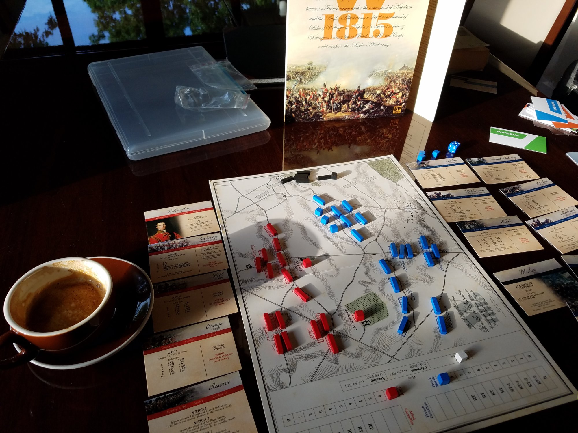
Turn on topographical too!
Some 360 images converted to video. Pause to look in detail:
Sound is not worth having on here…LOL. 60 kmph wind.
Undulating terrain.
This is at the intersection on the map of de Plancenoit and des Vertes Bornes. You can see how a medium weight rain really bogs up things.
It was a surprise to me just how big this was.
Maps for comparison [previously shared]:

There’s nothing like actually getting out and seeing the terrain for yourself. Gettysburg poses a similar problem with the rolling terrain especially concerning Pickett’s Charge. Perhaps this is why some think operational and strategic games are more “accurate.” Tactical games may be just too difficult to simulate due to the nuances of terrain.
Yes. G.Berg is nearly oh… 5 times bigger. With very much rugged terrain.
Yes, that too…
Very interesting. I am viewing these slowly; savouring really. Over the years I have read about the rolling terrain at Waterloo and it certainly is that looking at these shots. I also read that units can all but disappear in some of the folds. I wonder what impact it had on the battle.
Also, it is my understanding that they reduced the ridgeline which the Anglo-Allies stood behind in order to make that massive mound / monument to the P. of Orange. Wellington was not pleased.
Jon, thanks for watching look for a long post with images. The Lions Mound was made from local terrain. I have some shots that indicate the massive amount of dirt moved. Some from critical locations. Stay tuned