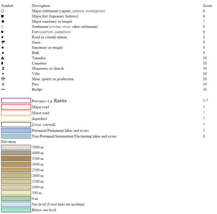
The map is the work of Johan Åhlfeldt, a researcher at Sweden’s Lund University, who built it using sources including the Barrington Atlas of the Greek and Roman World and the Pleides dataset.
See it here in a google maps style zoomable, scrollable format.
“In a departure from the original Barrington Atlas and the Pleiades dataset, our digital map does not try to implement time periods when places are attested, nor does it speculate on the certainty (or otherwise) of locations: only precise locations from the Pleiades dataset can be rendered on the map. Nevertheless, since many places lacked precise coordinates and/or feature data, a good deal of effort has been made to improve the data.”
http://pelagios.dme.ait.ac.at/maps/greco-roman/
Special thanks to the archives at University of Texas Library. Hook ’em.
Wondered what townships were around ROMA?


Thanks for posting this,it’s very interesting!
Excellent!