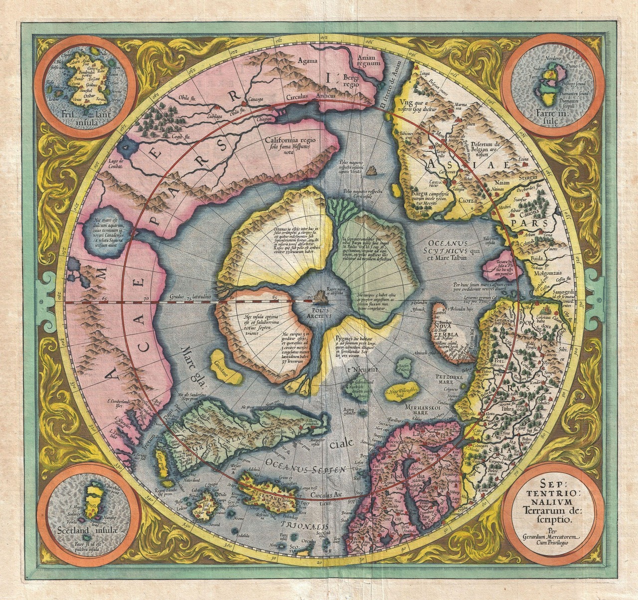
The first maps of the North Pole are as amazing as they are hilarious.
Maps are thing we as Grognards interact with every time we play. These are pretty amazing to look at.


“In order to make his map useful for navigation, though, Mercator had to sacrifice accuracy in other areas—specifically, he had to stretch out the top and bottom parts of his map, making the lands and seas in the far North and South appear disproportionately larger than those nearer the equator. (This is also why so many people think Africa is the same size as Greenland, when it is really about 14 times bigger—the Mercator projection is still very common in schools.)”
Hit the link above for the full story.

Make for an amazing Fantasy game no doubt!
Which brings me to a point… I am still looking for a decent condition and priced copy of War in the Ice. Anyone?