From BGG Jim Day:
I just want to make few comments on the MBT maps and the terrain depicted on them. The base color aside, either you have an issue with it or you don’t, the terrain is representative of the area that was occupied by the US V and VII Corps during the the time covered by the game.
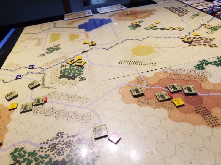
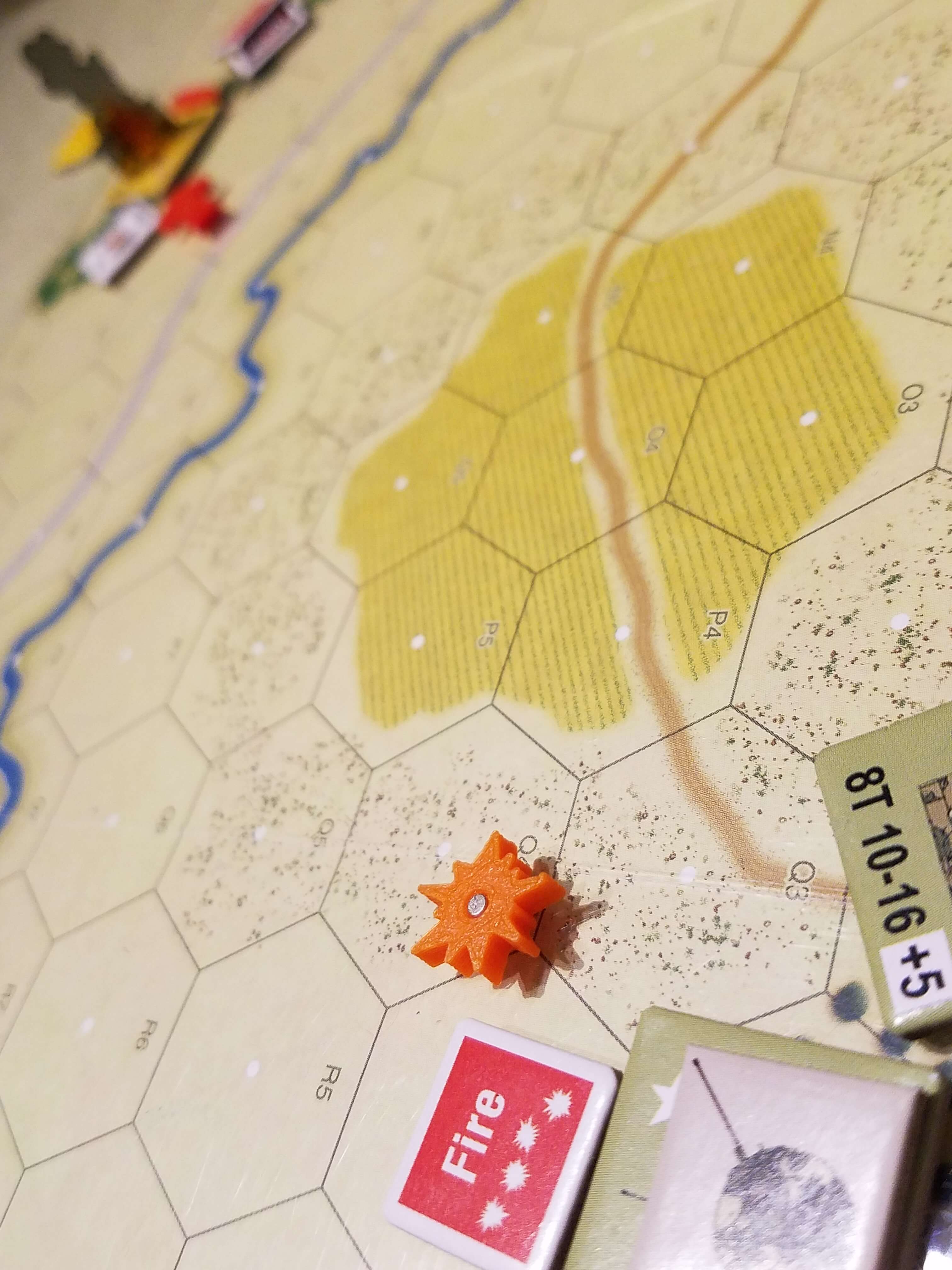
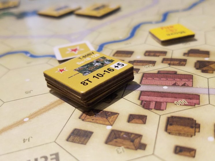
The basic design of the maps is to have very clear terrain features for sighting and movement and to be representative of the game’s scale (100 meters per hex). As one increases scale, the terrain features “pull in” giving the appearance of a denser area.
I didn’t want situations to arise where players were forced to argue over whether a single bit of terrain was blocking line-of-sight or what terrain type was dominating a hex. In MBT, it’s quite clear whether or not line-of-sight is clear and what terrain type fills a hex.
The original 4 MBT maps had to, in a sense, pull double duty since the game included both US and FRG forces. So, the maps needed to represent open or more “closed” terrain. That’s why they had hexes with various shaded of green where it could represent different terrain types. The 10 maps in the new MBT are not forced to pull double duty, so they are “cleaner” and more precise in their terrain representation. Note that number of hexes per map board is exactly the same between the two versions. However, the map boards in the new MBT are larger because the hexes are larger to accommodate the larger counters.
I have always felt that maps in the original Team Yankee game did an excellent job of representing the West German terrain occupied by the US forces. The maps are very similar to the MBT maps even though the scale in Team Yankee is 2x larger (200 meters per hex).
When you look at a small scale map of the actual area, the terrain looks quite heavily wooded with a fair amount of hilly areas. However, when you look at a large scale map, you find a much more open area with some rolling hills and woods. That’s the primary reason the NATO forces were lined up against the Fulda Gap with the Soviets poised on the opposite side.
It wasn’t so that the Soviets could sneak through dense woods and around many hills, it was because they could pour through the tank friendly open countryside. Their goal was to split and eliminate the NATO forces as they drove to the coast.

With the FRG and BAOR expansions you will find more varied terrain along with a couple of urban maps. However, keep in mind that the North German Plain (where the British I Corps and the West German I Corps were positioned) is also very tank friendly territory.
Also keep mind that the 20 map boards currently available with the new Panzer series are fully compatible with MBT.
[Edit Images added by BigBoard Gaming]
You saved the real reason for last. I thought the original MBT maps were very, very successful. Years later, after playing quite a bit of TacOps I began to question the advisability of the 100m scale. Just a cursory glance at the new ones leaves me a little skeptical about the depiction of relief. Is the vertical interval of the contour lines specified? Don’t your engagements feel a little crowded?